Walk past the vehicle gate and follow the Sunset Ridge Fire Road, a narrow, paved road. Pass an access trail on the left, leading to the Millard Campground. Stay on the road, which overlooks Millard Canyon and the San Gabriel Mountains on the left and Altadena, Pasadena, and Los Angeles on the right. At 0.4 miles is a fork. Leave the Sunset Ridge Fire Road the return route and veer left on the Sunset Ridge Trail.
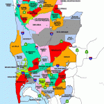
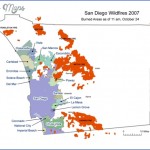
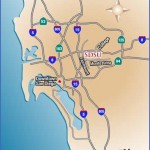
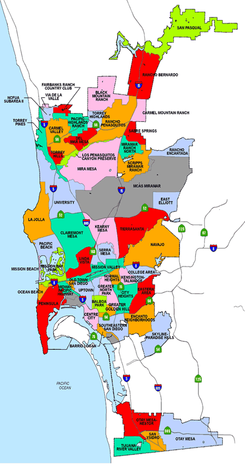
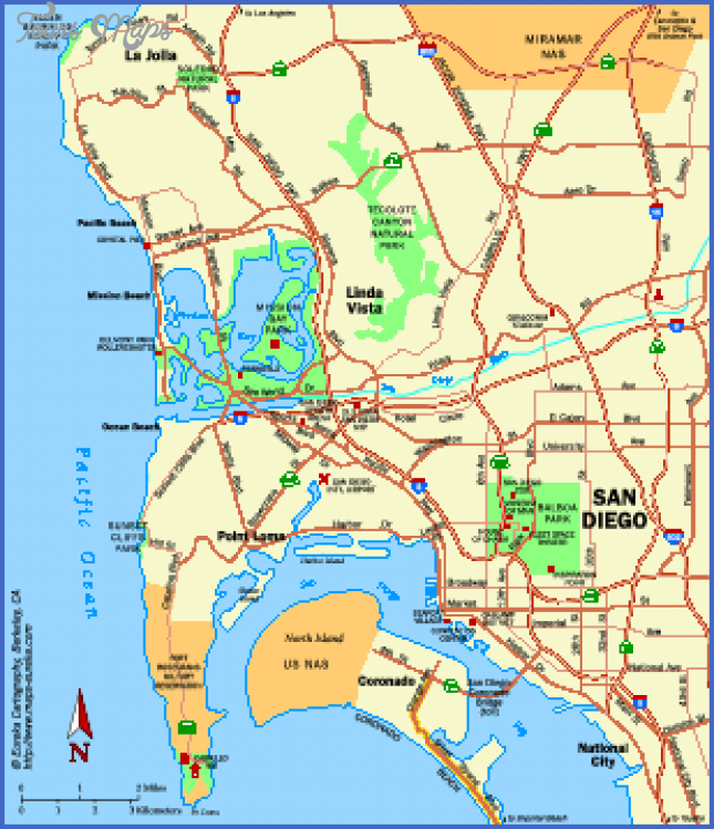
Where is San Diego ? San Diego Map Location Photo Gallery
Skirt the upper slope of Millard Canyon, weaving along the contours of the hills to a signed junction at 0.9 miles. The left fork crosses an old bridge and leads to the brink of Millard Falls (Hike 20). Stay on the Sunset Ridge Trail to the right, and ascend the mountain with the aid of fourteen switchbacks. At the ninth switchback is a view up Saucer Branch Canyon. Zigzag under tall oaks and Coulter pines past beautiful fern- covered rock walls, steadily climbing to views of Glendale and the Verdugo Mountains. At 1.6 miles, the trail emerges at the Sierra Saddle by a junction with a short connector to Sunset Ridge Road. On the right is a picnic area. The Sunset Ridge Trail continues one mile, connecting again with the Sunset Ridge Fire Road just a mile shy of Echo Mountain. Take the short connector road to the paved Sunset Ridge Road. (To make a much longer hike, the left fork continues one mile uphill to a junction. The Mount Lowe Road veers left and winds 3.5 miles up to Mount Lowe Trail Camp, nestled in a grove of oaks and big cone spruce see Hike 16. The right fork, the Echo Mountain Trail, leads 0.8 miles on the old railway bed to the historic ruins atop Echo Mountain see Hike 18.)
For this much shorter loop hike, head downhill (west) on the Sunset Ridge Fire Road along the exposed, south-facing slope. The spectacular vistas span across the urban basin as far as the haze will allow. Follow the upper south wall of Millard Canyon, completing the loop back at the junction with the Sunset Ridge Trail. Return a quarter mile to the trailhead.
Hiking distance: 2.2 miles round trip Hiking time: 1 hour Configuration: out-and-back Elevation gain: 300 feet
Exposure: mix of exposed hillside and forested canyon Difficulty: easy Dogs: allowed
Maps: U.S.G.S. Pasadena Harrison: Angeles Front Country Trail Map Harrison: Mt. Wilson Trail Map
Millard Canyon, tucked between Sunset Ridge and Brown Mountain, is filled with a lush forest of oaks, alders, maples, and Douglas firs. Millard Creek flows through the mossy, boulder-strewn canyon. On a bend in the creek, Millard Falls tumbles 50 feet through chockstones wedged into the vertical cleft to a pool surrounded by boulders. The water filters through the gaps in the boulders to the box canyon below. By carefully peering over the sheer rock wall, people can be spotted in the boulder-strewn grotto below (accessed from Hike 21).
This trail begins on Sunset Ridge along the upper south slope of Millard Canyon. A footpath descends to the serene, shaded canyon floor and downstream to the brink of the falls.
To extend the hike, an old trail weaves up canyon along the creek to Dawn Mine. The abandoned gold mine, perched on the west canyon slope, was active from 1895 until the 1950s. This 1.5-mile path entails a considerable amount of hopping over boulders, crossing the creek, and climbing over down logs. The path is partially washed away and fades in and out. The rough but atmospheric route passes cascades, pools, old mining machinery, and assorted rusty paraphernalia.
Maybe You Like Them Too
- Top 10 Islands You Can Buy
- Top 10 Underrated Asian Cities 2023
- Top 10 Reasons Upsizing Will Be a Huge Travel Trend
- Top 10 Scuba Diving Destinations
- World’s 10 Best Places To Visit

