Leo Carrillo State Park
Decker School Road
Hiking Distance: 2.5-Mile Double Loop Hiking Time: 1.5 Hours Configuration: Double Loop Elevation Gain: 100 Feet Difficulty: Easy
Exposure: A Mix Of Exposed Meadows And Shaded Oak Forest Dogs: Not Allowed
Maps: U.S.G.S. Triunfo Pass Leo Carrillo State Beach Map Tom Harrison Maps: Point Mugu State Park Trail Map Tom Harrison Maps: Zuma- Trancas Canyons Trail Map
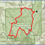
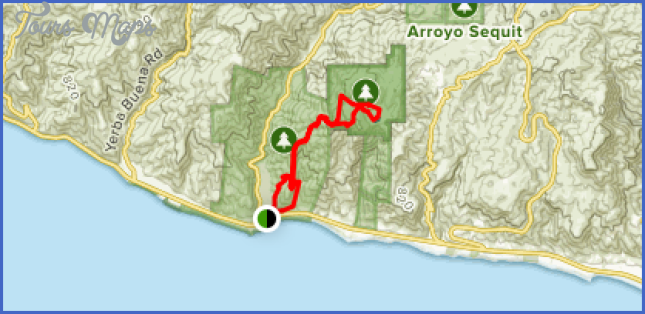
Nicholas Flat Map Photo Gallery
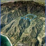
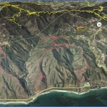
Nicholas Flat, In The Upper Reaches Of Leo Carrillo State Park, Is A Grassy Highland Meadow With Large Oak Trees, An Old Cattle Pond, And Sandstone Outcroppings That Lie 1,700 Feet Above The Sea. This Hike Skirts Around Nicholas Flat On Old Ranch Roads. The Easy Hike Offers Spectacular Views Of The Ocean, San Nicholas Canyon, And The Surrounding Mountains. The Nicholas Flat Trail May Be Hiked 3.8 Miles Downhill To The Pacific Ocean (See Hike 125).
To The Trailhead
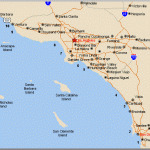
From Santa Monica, Drive 23.8 Miles Northbound On The Pacific Coast Highway/Highway 1 To Decker Road And Turn Right. (Decker Road Is 11.8 Miles West Of Malibu Canyon Road.) Continue 2.4 Miles North To Decker School Road And Turn Left. Drive 1.5 Miles To The Road’S End And Park Alongside The Road.
From The Pacific Coast Highway/Highway 1 And Las Posas Road In Southeast Oxnard, Drive 13.3 Miles Southbound On The Pch To Decker Road And Turn Left. Continue 2.4 Miles North To Decker School Road And Turn Left. Drive 1.5 Miles To The Road’S End And Park Alongside The Road.
The Hike
Hike South Past The Gate And Kiosk. Stay On The Wide, Oak-Lined Trail To A Junction At 0.3 Miles. Take The Right Fork, Beginning The First Loop. At 0.6 Miles Is Another Junction. Again Take The Right Fork The Meadows Trail. Continue To The Ridgeline Trail And An Overlook, Where There Are Great Views Into The Canyons. Curve South To A Junction With The Nicholas Flat Trail, Leading To The Coastline At The Southern End Of Leo Carrillo State Park. Take The Nicholas Flat Trail To The Left, Following The Perimeter Of The Southern End Of The Flat. A Trail On The Right Leads To Another Vista Point. Complete The West Loop At 1.8 Miles. Take The Trail To The Right At Two Successive Junctions To The Pond. A Side Path To The Right Circles The Pond To A Grove Of Stately Oaks And A Beautiful Rock Formation. Return To The Main Trail And Walk Through The Meadow Along The Northwest Side Of The Pond To A Junction, Completing The East Loop. Return To The Trailhead.
Maybe You Like Them Too
- Top 10 Islands You Can Buy
- Top 10 Underrated Asian Cities 2023
- Top 10 Reasons Upsizing Will Be a Huge Travel Trend
- Top 10 Scuba Diving Destinations
- World’s 10 Best Places To Visit

