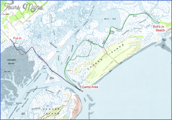
CAPERS ISLAND MAP SOUTH CAROLINA
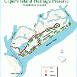
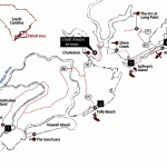
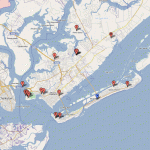
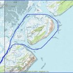
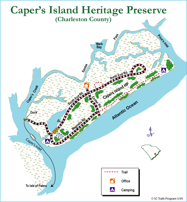
2,250 acres. Capers Island is a relatively pristine 3.3-mile-long Barrier Island which is located off the coast of South Carolina, just south of Francis Marion National Forest. Access is only by private boat.
The island has some beautiful sandy beach, dunes, freshwater ponds, marshes, swamps, and forested areas. Wildlife includes white-tailed deer and alligator. The island suffered damage from Hurricane Hugo in 1989.
Activities: Hiking is available along the beach and on old roads. Hunting and inland fishing are not permitted.
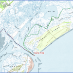
Camping Regulations: Camping and campfires are restricted to two designated camping areas. A camping permit is required, and this may be obtained by mail. Pets are prohibited.
For Further Information: Capers Island, South Carolina Wildlife and Marine Resources Department, P.O. Box 12559, Charleston, SC 29422; (803)795-6350.
CAPERS ISLAND MAP SOUTH CAROLINA Photo Gallery
Maybe You Like Them Too
- Arnold A Town with a Heart
- The Best Cities To Visit in The World
- World’s 10 Best Places To Visit
- Map of New York City – New York City Guide And Statistics
- Map of San Francisco – San Francisco Map Free

