GROTON STATE MAP VERMONT
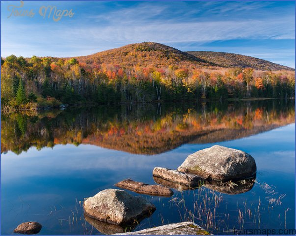
Located in north-central Vermont, Groton State Forest has some rugged terrain, with several medium-size mountains, rock outcrops, and smaller hills. The highest elevation is 3,348-foot Signal Mountain.
Scenery includes some ponds, wetlands, and 414-acre Lake Groton. Forests are of northern hardwoods, with yellow and white birch, plus pine and spruce. Moose, black bear, deer, and fox are among the wildlife.
Activities: Over 40 miles of trails are available for hiking, backpacking, and cross-country skiing. Fishing is another option, and hunting is permitted in season.
Camping Regulations; Camping is allowed at elevations below 2,500 feet. All campsites must also be at least 2,500 feet from roads, 200 feet from trails and property boundaries, and 100 feet from water sources.
Campfires are allowed as well. Maximum stay in one location is three nights. Groups of 11 or more must obtain a permit. Camping is prohibited in a few areas of the forest.
For Further Information: Groton State Forest, Marshfield, VT 05658; (802)584-3820.
GROTON STATE MAP VERMONT Photo Gallery
Maybe You Like Them Too
- Arnold A Town with a Heart
- The Best Cities To Visit in The World
- World’s 10 Best Places To Visit
- Map of New York City – New York City Guide And Statistics
- Map of San Francisco – San Francisco Map Free


