MENDOCINO NATIONAL FOREST MAP CALIFORNIA
876,236 acres. Located in northwest California, Mendocino National Forest encompasses mountains with elevations as high as 8,000 feet, deep canyons, and lowlands with numerous streams.
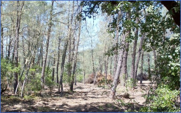
There are also meadows, grasslands and brush-lands, and forests of fir and pine, hemlock and juniper, including some old-growth trees. Blacktailed deer, black bear, mountain lion, coyote, and bobcat are among the wildlife.
This National Forest has two designated wilderness areas: 73,997 acres of the 109,000-acre Yolla Bolly-Middle Eel Wilderness, which continues on into Shasta-Trinity National Forest, and also the
37,000-acre Snow Mountain Wilderness.
Activities: Backpacking and hiking are possible on about 600 miles of trails. Difficulty ranges from easy to strenuous. Most trails are open to horses,
and some of the routes are suitable for cross-coun-:ry during winter.
Limited canoeing and kayaking are available on i couple of creeks, and fishing is also possible ilong streams and lakes. Hunting is permitted in season.
Cam ping Regulations: Camping is allowed :hroughout most of the National Forest, except where posted otherwise. A fire permit must be obtained to use a stove or build a campfire. A free wilderness permit, which doubles as a fire permit, must be obtained to camp in the Yolla BollyMiddle Eel Wilderness.
For Further Information: Mendocino National Forest, 420 East Laurel Street, Willows, CA 95988; [916)934-3316.
MENDOCINO NATIONAL FOREST MAP CALIFORNIA Photo Gallery
Maybe You Like Them Too
- Arnold A Town with a Heart
- The Best Cities To Visit in The World
- World’s 10 Best Places To Visit
- Map of New York City – New York City Guide And Statistics
- Map of San Francisco – San Francisco Map Free

