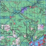
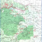
PLUMAS NATIONAL FOREST MAP CALIFORNIA
1,409,986 acres. Located in the Sierras of northeast California, Plumas National Forest has elevations from 1,000 to
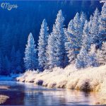
8,000 feet, with rocky mountains and ridges, canyons and cliffs.
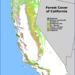
There are also lakes, rivers, and creeks with waterfallshighest of which is 640-foot Feather Fallsalong with mountain meadows, conifer forests, and areas of sagebrush and manzanita.
This National Forest has a single designated wilderness area, the 21,000-acre Bucks Lake Wilderness. Wildlife includes mule deer, mountain lion, black bear, coyote, and bobcat.
Activities: There are over 300 miles of trails for hiking and backpacking, including 75 miles of the Pacific Crest Trail (see entry page 113). Difficulty ranges from easy to strenuous.
Horseback riding is possible on most trails. Mountain biking is allowed as well, but not in the wilderness area or on the Pacific Crest Trail. Hunting and fishing are permitted in season.
Camping Regulations: Camping is allowed throughout most of the National Forest, except near public recreation areas or where otherwise prohibited. Wilderness permits are not required.
A fire permit is necessary, however, in order to build a campfire or use a stove. Campsites should be away from meadows and trails, and at least 100 feet from water sources.
For Further Information: Plumas National Forest, 159 Lawrence Street, Quincy, CA 95971; (916)283-2050.
PLUMAS NATIONAL FOREST MAP CALIFORNIA Photo Gallery
Maybe You Like Them Too
- Arnold A Town with a Heart
- The Best Cities To Visit in The World
- World’s 10 Best Places To Visit
- Map of New York City – New York City Guide And Statistics
- Map of San Francisco – San Francisco Map Free

