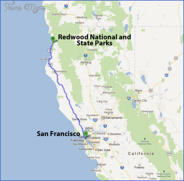
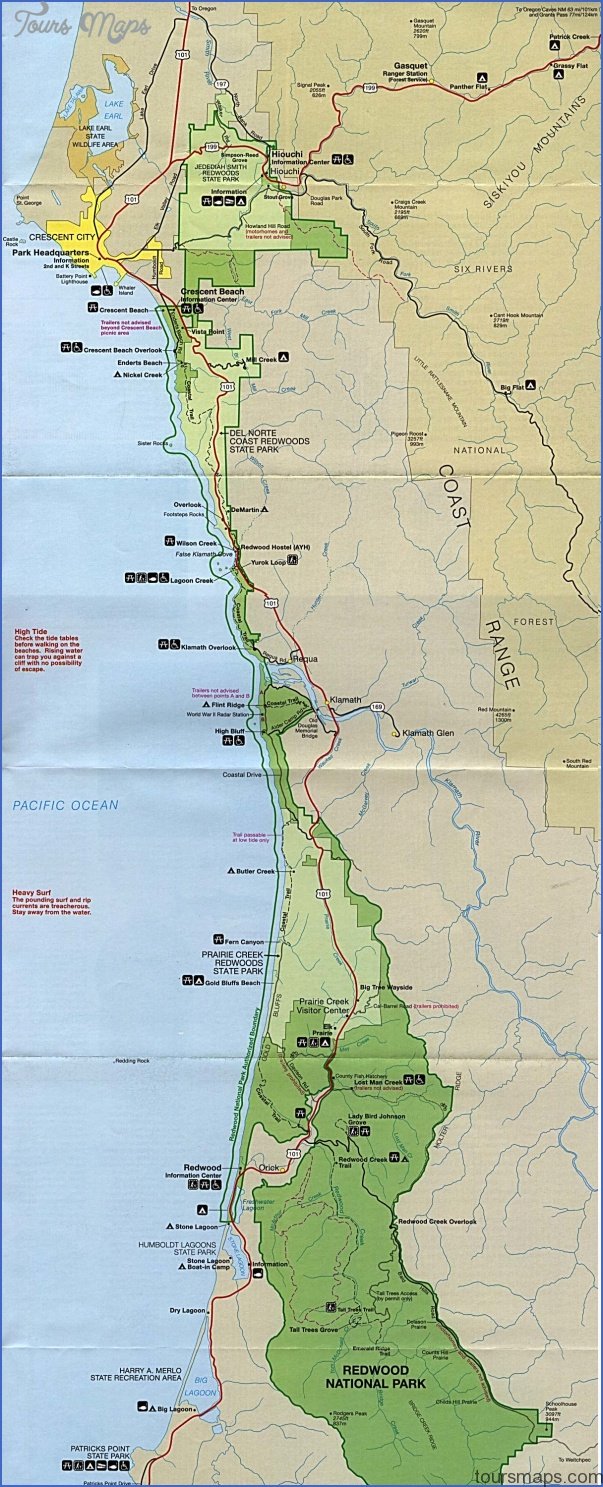
REDWOOD NATIONAL PARK MAP CALIFORNIA
106,000 acres. This long and narrow National Park is located along the coast of northern California. It protects spectacular old-growth stands of redwoods, the tallest trees in the world, reaching as high as 368 feet and as much as 2,000 years old.
Three state parks with redwoods are adjacent to the National Park. Scenery in the region includes rugged coastline with beaches, conifer forests, rivers and streams, and some prairie. Among the wildlife are black-tailed deer, elk, and mountain lion.
Activities: Here and in the state parks are some 150 miles of hiking trails, easy to strenuous in difficulty. Kayaking and canoeing are available on the Smith River. Fishing is possible along some of the rivers and streams. Hunting is prohibited.
Camping Regulations: Backpacking is allowed along just two of the trails. A free backcountry permit is required for the 8.2-mile Redwood Creek Trail, which is fully accessible only from June through September.
Permits are available on a first-come, first-served basis. Camping along the Redwood Creek Trail is limited to gravel bars, as are campfires. Camping is not permitted within one-quarter mile of the Tall Trees Grove.
Camping is also allowed in established sites along the 19.5-mile Coastal Trail. One site only, the Butler Creek Primitive Camp in Prairie Creek Redwoods State Park, requires a permit.
For Further Information: Redwood National Park, 1111 Second Street, Crescent City, CA 95531;(707)464-6101.
REDWOOD NATIONAL PARK MAP CALIFORNIA Photo Gallery
Maybe You Like Them Too
- Arnold A Town with a Heart
- The Best Cities To Visit in The World
- World’s 10 Best Places To Visit
- Map of New York City – New York City Guide And Statistics
- Map of San Francisco – San Francisco Map Free