Hiking distance: 6 miles round trip Hiking time: 3 hours
Configuration: loop with return on Paseo Del Mar Elevation gain: 300 feet Exposure: exposed beach coastline Difficulty: easy to slightly moderate Dogs: allowed.
Maps: U.S.G.S. Redondo Beach
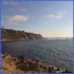
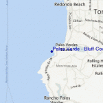
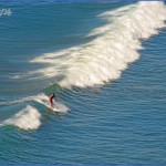
Bluff Cove and Lunada Bay are both crescent-shaped rocky beach pockets resting beneath sheer, terraced cliffs. They are popular with surfers and tidepool explorers. The path begins at Flat Rock Point and leads down to the rocky Bluff Cove.
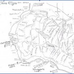
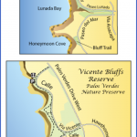
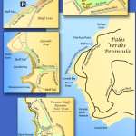
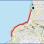
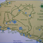
Bluff Cove to Lunada Bay Map Photo Gallery
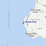
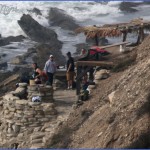
The jagged shore is lined with cliffs and numerous small coves. The horseshoe-shaped Lunada Bay is framed by Palos Verdes Point (also known as Rocky Point) and Resort Point. In 1961, a Greek freighter named Dominator, en route from Vancouver, Canada, to the Los Angeles Harbor, ran aground in thick fog just north of Rocky Point. Watch for the rusted remnants of the abandoned ship.
To the trailhead
From the Pacific Coast Highway/Highway 1 at the south end of Redondo Beach, turn south on Palos Verdes Boulevard. Drive 1.5 miles and curve to the right onto Palos Verdes Drive West to the first stop sign. Turn right on Via Corta. Drive 0.4 miles and turn right on Via Arroyo. Drive one block to Paseo Del Mar. Turn left and continue 0.5 miles to a distinct path on a left bend in the road. Surfers’ vehicles are often parked along this bend.
The hike
Take the wide path down the cliffs on an easy, tapered grade overlooking the rock formations at Flat Rock Point. At the north end of Bluff Cove, a steep side path descends to the tidepools at Flat Rock Point. The main trail curves left into the rocky beach at crescent-shaped Bluff Cove. Slowly follow the shoreline southwest, walking over the eroded boulders under the 300-foot bluffs. As you approach Rocky Point, watch for some scattered remains of the Dominator. Follow the point into Lunada Bay. As you circle the bay, watch for a steep path ascending the cliffs, just before Agua Amarga Canyon. Carefully climb up the eroded cliffs to the grassy open space atop the bluffs. If you prefer to continue hiking along the shoreline, follow Lunada Bay around Resort Point into a small pocket cove. Another precipitous trail ascends the cliffs to the open space on the bluffs.
Table of Contents
Maybe You Like Them Too
- Top 10 Islands You Can Buy
- Top 10 Underrated Asian Cities 2023
- Top 10 Reasons Upsizing Will Be a Huge Travel Trend
- Top 10 Scuba Diving Destinations
- World’s 10 Best Places To Visit

