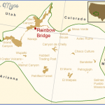
RAINBOW BRIDGE NATIONAL MONUMENT MAP UTAH
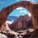
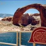
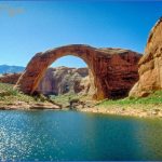
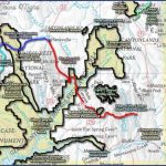
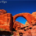
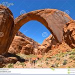
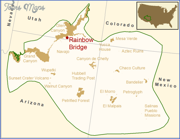
This small National Monument adjacent to Glen Canyon National Recreation Area is surrounded by lands of the Navajo Nation (Reservation). At the center of the monument is Rainbow Bridge, largest natural bridge in the world, made of sandstone and 275 feet long, 290 feet high, and 42 feet thick.
Activities: The National Monument and bridge are accessible only by two rough trails, or by water from Lake Powell in Glen Canyon National Recreation Area. One of the trails is 13 miles and the other 14 miles long, and they’re both on Navajo Nation lands. The trails are open to foot travel and horses only.
Camping Regulations: A permit is required to backpack and camp along the trails, and costs a nominal fee. The permit must be obtained from the Navajo Nation, Recreational Resources Department, Box 308, Window Rock, AZ 86515.
There are several designated camping areas along the trails. Campfires should be built only in preexisting fire sites. Spring and fall are the best times to camp here.
For Further Information: Rainbow Bridge National Monument, c/o Glen Canyon National Recreation Area, P.O. Box 1507, Page, AZ 86040.
SAWTOOTH NATIONAL FOREST
Most of this 1,347,422-acre National Forest is in Idaho, but 71,182 acres are located in the northwest corner of Utah. Included here are the Raft River Mountains, with elevations over 9,000 feet and outstanding views, along with some canyons and streams. Camping and campfires are permitted. See the Sawtooth National Forest entry in the Idaho chapter for more information.
RAINBOW BRIDGE NATIONAL MONUMENT MAP UTAH Photo Gallery
Maybe You Like Them Too
- Arnold A Town with a Heart
- The Best Cities To Visit in The World
- World’s 10 Best Places To Visit
- Map of New York City – New York City Guide And Statistics
- Map of San Francisco – San Francisco Map Free

