CUMBERLAND TRAIL MAP TENNESSEE
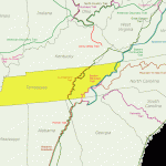
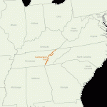
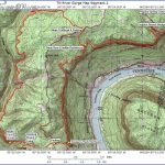
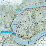
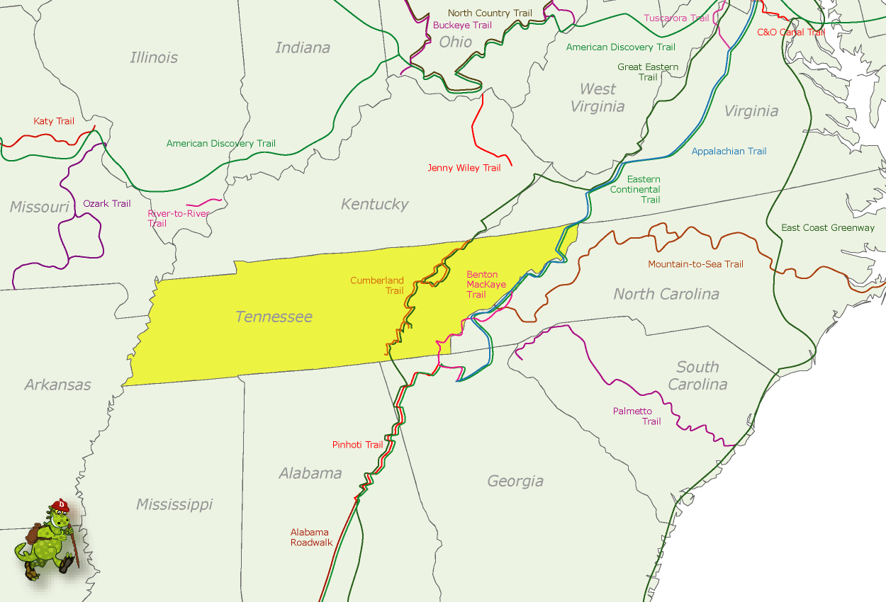
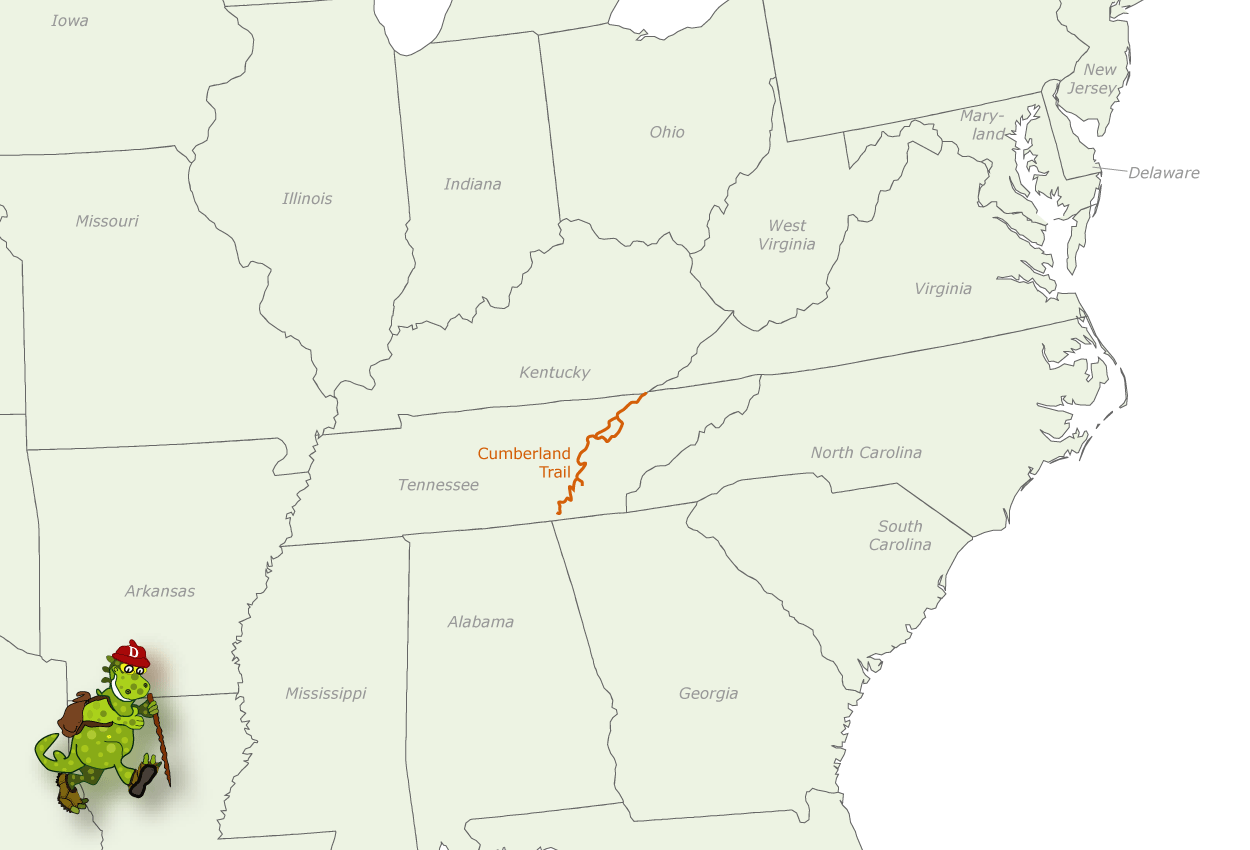
This new State Scenic Trail, which is currently under construction, will be over 200 miles long when completed. It runs from Cumberland Gap National Historic Park, on the Kentucky and Virginia borders, to Signal Point National Military Park and Prentice Cooper State Forest, which are along the Tennessee River gorge near the Alabama and Georgia borders.
About half of the trail is now open. Difficulty ranges from easy to strenuous. It follows the mountainous eastern escarpment of the Cumberland Plateau, crossing some rugged terrain. Portions of the trail are on state lands, with some stretches along roads.
Camping Regulations: Camping is available at designated sites, which are located at intervals along the trail. Campfires are allowed at authorized campsites only, and may be prohibited during dry weather. A stove is recommended for cooking. Sections of the trail may be closed during deer hunting season.
For Further Information: Cumberland Scenic Trail Manager, Route 2, Box 505, Caryville, TN 37714; (615)566-0901.
TENNESSEE CAMPING RESOURCES
ORGANIZATIONS WHICH OFFER WILDERNESS
CAMPING TRIPS
Smoky Mountains Hiking Club, P.O. Box 1454, Knoxville, TN 37901. This hiking club offers a few backpacking trips to the Smokies and other areas each year.
Tennessee Eastman Hiking and Canoeing Club, P.O. Box 511, Kingsport, TN 37662; (615)229-2005. The Tennessee Eastman club offers some backpacking and canoe-camping trips, and has limited camping equipment available. The club was organized for employees of the Tennessee Eastman Company, but others are welcome to join.
Tennessee Trails Association, P.O. Box 41446, Nashville, TN 37204. This trail association sponsors some backpacking trips, including trips for beginners.
USEFUL GUIDEBOOKS
Guide to the Appalachian Trail in Tennessee and North Carolina Harpers Ferry, WV: The Appalachian Trail Conference, 1989.
Hiker’s Guide to the SmokiesMuriless, Dick and Stallings, Constance. San Francisco: Sierra Club Books.
Hiking in the Great SmokiesBrewer, Carson. Great Smoky Mountains Natural History Association.
Tennessee TrailsMeans, Evan. Chester, CT: The Globe Pequot Press, 1989.
Walks in the Great SmokiesAlbright, Rodney and Priscilla. Old Saybrook, CT: The Globe Pequot Press.
INFORMATION ABOUT STATE PARK CAMPGROUNDS
Tennessee Division of Parks and Recreation, 701 Broadway, Nashville, TN 37243.
STATE HIGHWAY MAP AND TRAVEL INFORMATION
Tennessee Tourist Development, P.O. Box 23170, Nashville, TN 37202; (615)741-2158.
CUMBERLAND TRAIL MAP TENNESSEE Photo Gallery
Maybe You Like Them Too
- Arnold A Town with a Heart
- The Best Cities To Visit in The World
- World’s 10 Best Places To Visit
- Map of New York City – New York City Guide And Statistics
- Map of San Francisco – San Francisco Map Free

